Update 2019-07-09: Videos.
On the Lowndes County Commission agenda for Monday and Tuesday, appointments to three boards, three rezonings, and a mystery agreement.
They have no candidates to replace Malinda Taylor on the Lowndes County Library Board. Paul Alvarado and John McCall want to be reappointed to the Valdosta-Lowndes County Zoning Board of Appeals. Gregory Powell apparently does not want to be reappointed, and Victoria O’Steen and Kelisa Brown have applied for Keep Lowndes Valdosta Beautiful (KLVB).
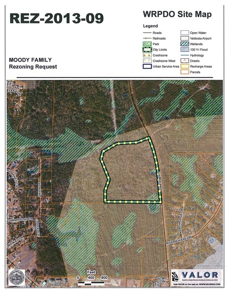
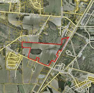
![[Area map]](http://www.l-a-k-e.org/govt/glpc/2019-06-24--glpc/valorgis.jpg)
The rezoning cases are three from the preceding Planning Commission meeting; GLPC unanimously recommended approval of all three.
The mystery Agreement with Cornerstone is, according to the agenda sheet, a $96,000 ($8,000 / month) item:
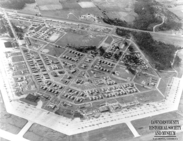
As a part of Lowndes County’s ongoing support of Moody Air Force Base, the services of Cornerstone Government Affairs, Inc. are being recommended. In addition to assistance with matters related to the Department of Defense, Continue reading