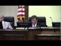
Could be a record: an hour and 14 minutes for Tuesday’s Lowndes County Commission Regular Session.
After many months, they had Recognition of return of Commissioner Joyce Evans. She is clearly still recovering from her medical issues, but Commissioner Demarcus Marshall wheeled her in. She didn’t say anything then, but, then, she seldom does. She did thank them at the end of the meeting.
![[Collage @ LCC 9 December 2025]](http://www.l-a-k-e.org/govt/loco/2025-12-09--lcc-regular-videos/many.jpg)
The did not reappoint incumbent Tommy Willis to the Planning Commission. Instead they appointed John “Mac” McCall by a vote of 3-2. As near as I can tell, Commissioners Mark Wisenbaker and Demarcus Marshall were the 2.
By acclamation they reappointed incumbent Felicia Williams to the Lowndes County Board Of Assessors. Nobody even nominated Gretchen Quarterman. Ms. Williams later spoke about the Tax Commissioners in Citizens Wishing to Be Heard (CWTBH).
Mr. Gary Wisenbaker was appointed to the Lowndes County Library Board after he recused himself from the vote.
The seat reserved for Wild Adventures on the Valdosta-Lowndes County Conference Center And Tourism Authority had a new WA General Manager appointed: Donald Spiller III.
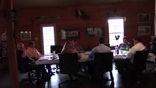
The meeting length was because of many agenda items, some postponed from last month, some because there’s only one Regular Session in each of November and December, and some year-end items.
The only item that took more than ten minutes was Continue reading
![[Collage @ LCC 8 December 2025]](http://www.l-a-k-e.org/govt/loco/2025-12-08--lcc-work-videos/many.jpg)
![[Collage, LCC Packet 2025-12-08]](http://www.l-a-k-e.org/govt/loco/2025-12-08--lcc-packet/many.jpg)

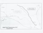
![[Map: 36" Greenfield Pipeline Approx. 465 Miles]](http://www.l-a-k-e.org/govt/loco/pipeline/2013-07-25--sabal-trail/SCAN0450.jpg)
![[Map of Options A and B]](http://www.l-a-k-e.org/govt/loco/pipeline/2013-07-25--sabal-trail/SCAN0476.jpg)