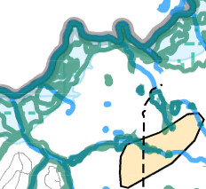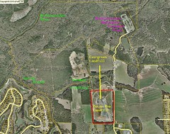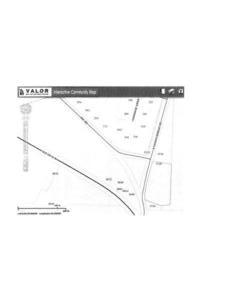
Looks like the 5720 S. Hagan Bridge address is in
VALOR GIS map for
the Hahira extraterritorial request
in the
board packet, which appears to have been received as an attachment to
the request letter from Hahira.
It’s easier to see if you go directly to
VALOR GIS
and zoom in.
Which raises the question of why is the address in VALOR GIS
different from the address in the
Tax Assessors map.
See also this
comment today by Barbara Stratton. -jsq
Mr. Allen said 5720 S Hagan Bridge Rd, which is the agenda address I
was also given by one of the County Commissioners Tuesday afternoon.
5710 S Hagan Bridge Rd is the address in the Tax Assessors records
and also the address that was approved by the Hahira City Council in
previous meetings. So where did the 5720 address come from and I
also agree that the correct address and owner name should have been
published for public record. The 5710 property owned by John Bailey
was purchased in February 2014 and almost immediately Continue reading