 Keep Lowndes-Valdosta Beautiful did cleanups in wetlands in
both the Withlacoochee and the Alapaha River watersheds, plus
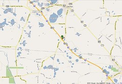
at exit 22, and the general illegal trash dumping situation came up.
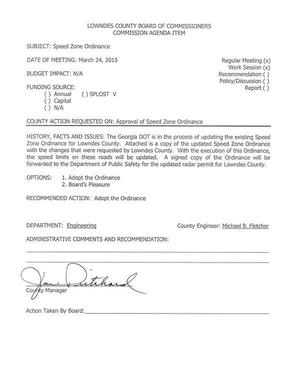
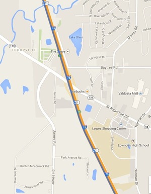
Did the county change the speed limit on your road?
The County Engineer said only in one area, but they didn’t publish the list.
Also discussed
were
a
GEMA grant application, a
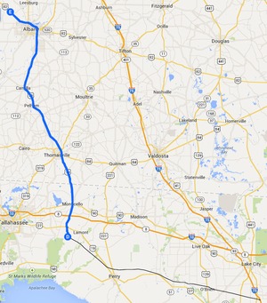
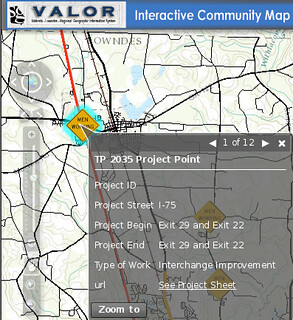
proposal for engineering services for Exits 22 and 29,
HVAC for county buildings, and a
liquor license.
Here’s
the agenda
with links to the videos and a few notes.
Keep Lowndes-Valdosta Beautiful did cleanups in wetlands in
both the Withlacoochee and the Alapaha River watersheds, plus
at exit 22, and the general illegal trash dumping situation came up.
Did the county change the speed limit on your road?
The County Engineer said only in one area, but they didn’t publish the list.
Also discussed
were
a
GEMA grant application, a
proposal for engineering services for Exits 22 and 29,
HVAC for county buildings, and a
liquor license.
Here’s
the agenda
with links to the videos and a few notes.
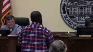
LOWNDES COUNTY BOARD OF COMMISSIONERS
Continue reading
PROPOSED AGENDA
WORK SESSION, MONDAY, MARCH 23, 2015 8:30 a.m.
REGULAR SESSION, TUESDAY, MARCH 24, 2015 5:30 p.m.
327 N. Ashley Street – 2nd Floor