Received today in response to Tim Carroll’s email.
All, Gabe Fisher here—2420 Meadow Brook. I do not currently have the time, nor mental capacity to fully think through this issue, but I want you all to see what the sewer system is currently doing to our backyards. This video was taken today, in by backyard, after the flood. It has been spilling at least at this same rate for the last 7 days.
What the sewer system is currently doing to our backyards —Gabe Fisher
Video by Gabe Fisher, Valdosta, Lowndes County, Georgia, 3 March 2013.This contaminated water breached my crawlspace, around 24″ deep, and must absolutely be dealt with ASAP. What is the city going to do for me, and my neighbors who are in this same situation??
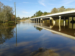
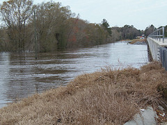
There is no other word for it—I am pissed. I have seen zero results since the flood in 2009. Yes, maybe receiving 12″ inches of rain is an act of God, but that does not account for all the man made structures that force the flood waters higher at my location, nor other obstacles it must overcome to quickly and efficiently escape our area—such as the train trestle along Gornto. And it absolutely does not account for the city’s poorly planned sewer system..
This isn’t the first sewage spill since the flood of 2009—there have been countless others in my area. I have photos and video evidence of at least 5 that would likely be classified as ‘major’.
This cannot and will not be ‘swept under the rug’.. I am still currently upside down on my property due to the flood of 2009 and this current flood has only further degraded my property’s value.
Gabe
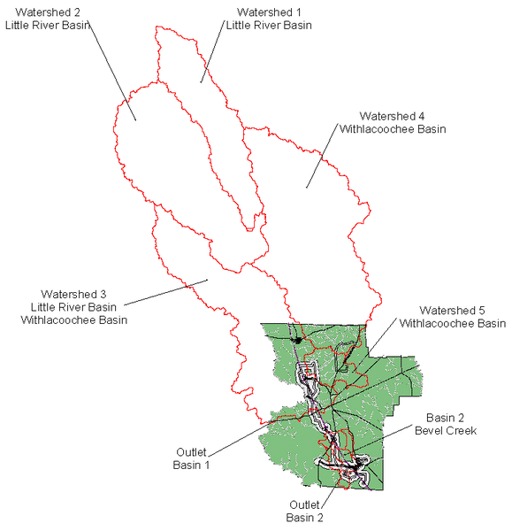
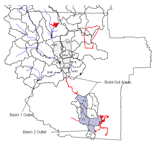
Looking at his address in the Lowndes County Tax Assessor’s maps, and turning on Flood Map, Lakes and Rivers, and Aerial Photos, you can see that his property and most of all his neighbors’ lots are in the flood plain:
Continue reading


