 Tonight we get to hear twice about the long-awaited
flooding study by the U.S. Army Corps of Engineers:
once with no citizen input at the Valdosta City Council Work Session,
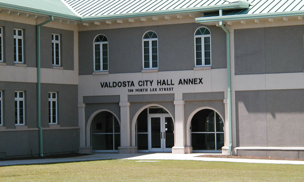
and then with citizen input at Valdosta City Hall Annex.
Presumably this study will say something about the Withlacoochee Wastewater Treatment Plant (WWTP), the new
force main to prevent manhole overflows, and
maybe some upstream measures to keep quite as much water from getting there.
This study only addresses issues within the city limits of Valdosta,
not the larger watersheds upstream on the Withlacoochee and Little Rivers
and downstream: that will take more funding.
People
downstream in Florida may be relieved to hear something is being done.
Tonight we get to hear twice about the long-awaited
flooding study by the U.S. Army Corps of Engineers:
once with no citizen input at the Valdosta City Council Work Session,
and then with citizen input at Valdosta City Hall Annex.
Presumably this study will say something about the Withlacoochee Wastewater Treatment Plant (WWTP), the new
force main to prevent manhole overflows, and
maybe some upstream measures to keep quite as much water from getting there.
This study only addresses issues within the city limits of Valdosta,
not the larger watersheds upstream on the Withlacoochee and Little Rivers
and downstream: that will take more funding.
People
downstream in Florida may be relieved to hear something is being done.

-
5:30 PM at City Hall, 216 E. Central Avenue, second floor.
The Work Sessions allow council members to spend an adequate amount of time discussing agenda items and hear special presentations relative to the agenda. These meetings are open to the general public.
But Valdosta doesn’t post an agenda for the Work Session. -
6:30 PM at City Hall Annex, 300 North Lee Street.
We know about this and the Work Session presentation because of email from Emily P. Davenport, Stormwater Manager, Engineering Department, City of Valdosta
Here’s a handy list from WWALS Watershed Coalition
of
river level gages upstream and down from the WWTP,
 related to a new USGS flood-tracking chart:
- Little River at Upper Ty Ty Road, near Tifton GA (02317797) 2.38 feet
- Little River near Adel GA (02318000) 10.54 feet
- Little River at GA 122, near Hahira GA (02318380) 14.89 feet
- Okapilco Creek at GA 333, near Quitman GA (02318700) 10.45 feet
- Withlacoochee River at McMillan Road, near Bemiss, GA (023177483) 8.99 feet
- Withlacoochee River at US 41 near Valdosta GA (02317755) 11.79 feet
- Withlacoochee River at US 84, near Quitman GA (02318500) 12.45 feet
-
 Withlacoochee River near Pinetta FL
(02319000) 15.38 feet
Withlacoochee River near Pinetta FL
(02319000) 15.38 feet
- Withlacoochee River near Madison FL (02319300) 56.87
- Withlacoochee River near Lee FL (02319394) 52.76
Here are a few more ideas for things to do about flooding, some of which wouldn’t cost much.
-jsq
Short Link:
Pingback: Flooding charts | WWALS Watershed Coalition