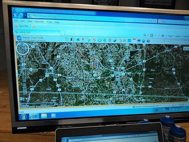
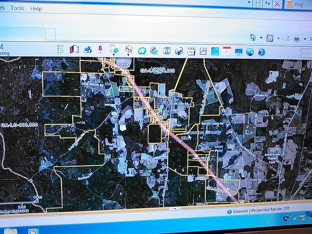
Sabal Trail had an interactive GIS map of the entire pipeline route in Moultrie last night, with zoom and pan detail as good as the tax assessor maps for Brooks and Lowndes Counties. The Sabal Trail reps declined to provide a copy of the whole GIS, but they obligingly panned down the pipeline and waited while I took pictures with my smartphone.
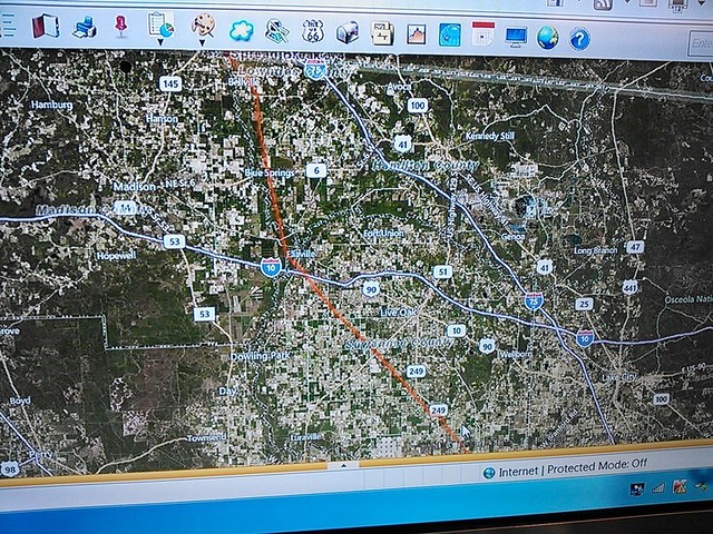
Here’s GIS of the pipeline route through Brooks and Lowndes Counties:
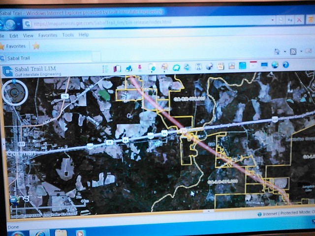
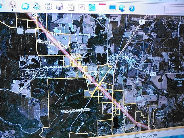
This is zoomed in where the route crosses US 84 and then the Withlacoochee River, which is the county line:
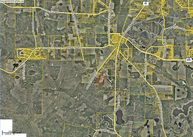
Compare to these two tax assessor maps snaps, for Brooks and Lowndes at that spot:
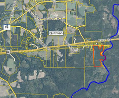
Panned a bit more, west of Wild Adventures:
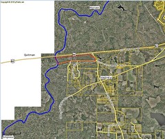
Clyattville:
 You can see the
Parcel 0098 003
mentioned in the
15 July 2013 letter to Lowndes County
and marked as E on my map of
Path of proposed pipeline through Lowndes County.
You can see the
Parcel 0098 003
mentioned in the
15 July 2013 letter to Lowndes County
and marked as E on my map of
Path of proposed pipeline through Lowndes County.
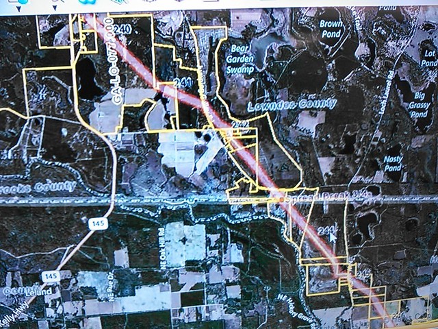
And the pipeline crosses the Florida Line into Madison and Hamilton Counties, Florida:
Blue Springs, Florida:
Pictures by John S. Quarterman for Lowndes Area Knowledge Exchange (LAKE),
Valdosta, Lowndes County, Georgia, 15 October 2013.
Sure, these pictures are a bit fuzzy. But they provide enough detail to match with the online tax assessor maps.
-jsq
Short Link:
Pingback: Spectra pipeline meeting tonight at Wiregrass Tech @ Pipeline 2013-10-16 | On the LAKE front