Seen today on
Recent clear cutting in north of Lowndes County:
In the Northwest and Southwest of the most westerly boundary line of
Nelson Hill Subdivision there are two well sites that had been
previously deeded to Lowndes County for Deep Wells for Lowndes
County Water Supply due to the problems at that time with the Well
at Stone Creek location. However the test bore water samples came
back with negative results due to surface water contamination
entering the aquifer from all the fractures in the fragile lime
stone basin and active sinkholes in that area, there is a sinkhole
less than half of a mile south from where the test bores were done
and it’s probably 90 feet deep. All this boarders the subject site
Moody Housing.
So let’s look on the west side of the
remainder of the Nelson Hill site,
parcel 0071 006B.
There are two cutouts, each about 50 feet square or 2500 square feet or 0.057 acre.
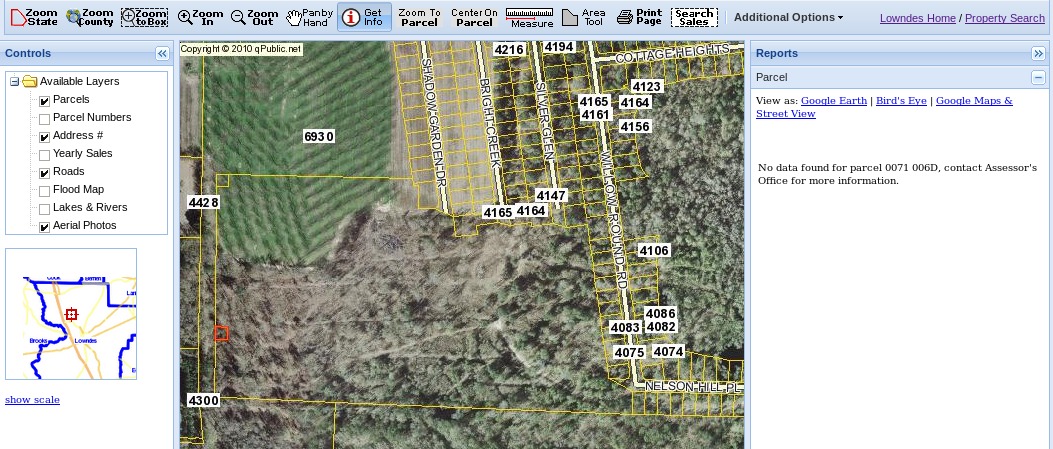
Trying to select those in the online tax assessors maps, we get:
No data found for parcel 0071 006C, contact Assessor’s Office for more information.
No data found for parcel 0071 006D, contact Assessor’s Office for more information.
So I contacted the tax assessor office.
They said those parcels don’t actually exist any more.
They were added into another parcel.
After a bit the first person said they were added into 0071 006B,
but she’d have to transfer me to the mapping department to
find out more.
So those square plots were split out of land owned by
David and Lorena Clyatt, which you can see in the
parcel card for 0071 006B.
In 2008, two remote well sites, 0.754 acres each, still in the Clyatt name,
were split out.
According to deed book 3636 page 295 they were transferred to NELCO Inc.
However, according to deed book 3702 page 118
they were deeded from LLD LLC Development to Lowndes County.
But there’s a note (she said) that says they couldn’t
transfer to Lowndes County, because already deeded to NELCO Inc. previously.
So they went into Nelco Inc.
They were foreclosed, and went to Ameris Bank
Now FLEMACLEY LLC owns it.
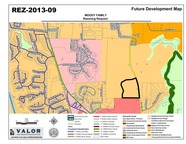
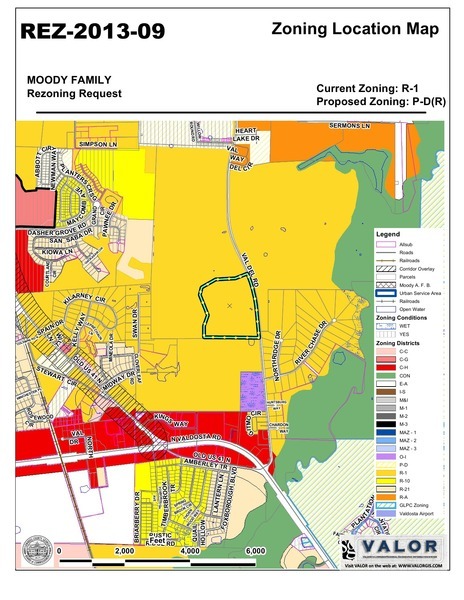
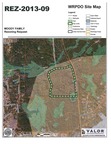
One of those well sites is actually visible at the top of the
Zoning Location Map for REZ-2013-09 Moody Family Rezoning Request:
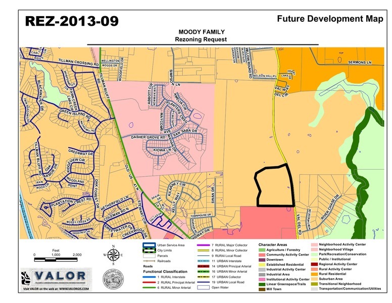
Both of those well sites
are visible at the top of the
Future Development Map for REZ-2013-09,
plus Stone Creek in the lower left.
Stone Creek’s own well is not marked, but it’s just across the railroad tracks
from where Dasher Grove Rd joins Old US 41N.
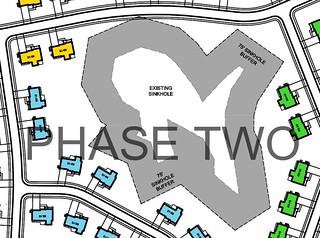
And of course we know the Phase Two site for Moody Family Housing
has a big sinkhole on it
and is
in an aquifer recharge zone.
Now about those water tests….
Oh, is this
that happened in Florida late last year what we want
to happen here in the same aquifer?

-jsq
Pingback: Air Force has the environmental assessment for Moody Family Housing | On the LAKE front