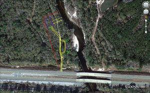
The three maps arrived by email for the engineering items in
the Lowndes County Commission
Monday Work Session and Tuesday Regular Session.
The rest of the response to that Open Records request did not,
so I’ll have to go back again to pick up the rest of it on paper.
And the other Open Records request, for
the rezoning items,
I still have only on paper; no email for the maps or other items from that,
so I guess I’ll have to scan it.
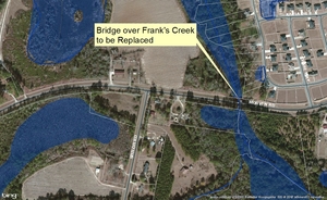
Meanwhile, here are the maps for
the Naylor Boat Ramp,
the
Frank’s Creek Bridge replacement on Morven Road,
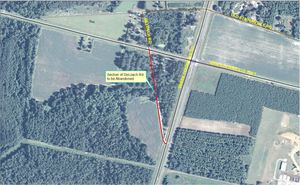
and the proposed closing of
Deloach Road.
Thanks to Lowndes County Engineering for that much.
And if Lowndes County put agenda packet items such as these
on the web with their agendas, as
multiple counties in Georgia and elsewhere already do,
not to mention our own local school boards,
nobody would have to go through this open records rigmarole runaround
just to get simple electronic copy of maps.
That includes county staff wouldn’t have to spend time on this:
put it on the web once and forget about it.
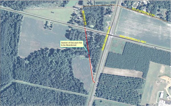
DeLoach Road
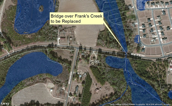
Franks Creek Bridge
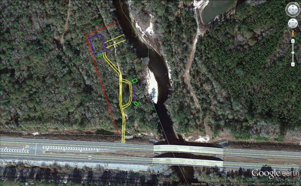
Naylor Boat Ramp aerial
-jsq